
Palawan turns up on almost every list of the world's most beautiful islands, and Condé Nast Traveler readers voted it the best island on the planet two years running. Most visitors land in Puerto Princesa and head straight north to El Nido, but the city itself holds one of the province's defining sights: a UNESCO-listed underground river we paddled through by rowboat, guided only by headlamp light and a running commentary on bats and rock formations. This guide walks through Puerto Princesa, El Nido, Coron and the geography and history that connect all three.
Puerto Princesa and the Underground River
Most people only know Puerto Princesa as the city you fly into on the way to El Nido. You land, find a van, and head north within the hour. It is easy to understand why: a long stretch of coastline waits at the northern tip of the province. But right outside the city, in the fishing village of Sabang, sits one of the longest navigable underground rivers in the world, recognized since 1999 as a UNESCO World Heritage Site and voted one of the New 7 Wonders of Nature in 2012.
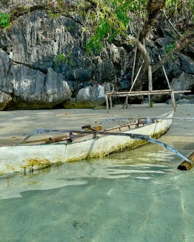
We did not expect much from an underground river before going, and we were wrong. The transfer from our accommodation in Puerto Princesa to Sabang took just under two hours over a bumpy road, which gave us time to doze or watch the hills go by. Once in the village, there was time to wander the small market by the beach before our boat tour, and we used the morning to add two extra activities: a ride through the mangroves and a zipline above the water.
The mangrove boat glided slowly along a narrow river deep into the forest, our guide pointing out birds and, at one point, a few snakes stretched out on branches above the water in the sun. From there we walked the length of a beach and followed a path of small stone slabs uphill through the rainforest to reach the zipline platform.

At the top, a small hut handed out helmets and harnesses. After a short wait, a countdown from three sent us out over the water on a line running about 15 meters above the surface, with clear water below and forest-covered hills rising in the distance. It was brief, and we would do it again.
The river itself came last. A short boat ride brought us to a nearby beach for a safety briefing, helmets and life jackets, before we climbed into small rowboats. Our guide doubled as oarsman, steering us into the dark while naming the rock formations his headlamp picked out along the way. Bats hung from the ceiling or flickered past in short bursts, and the boat moved deeper past tall stalactites and stalagmites. The full cave system runs at least 32 kilometers, built around an 8.2-kilometer underground stretch of the Cabayugan River, recognized as a UNESCO World Heritage Site since 1999. Tourist boats cover only part of that distance before the passage opens into a wide dome.
Underground river tips
- Bring your own headlamp or flashlight if you have one, the guide's light does most of the work but a second beam helps.
- Add the mangrove boat ride or the zipline if you have the morning free, both run from the same beach in Sabang.
- Carry some cash for extra activities on site, card machines are not reliable this far from town.
- Book through your accommodation in Puerto Princesa if you want door to door pickup.
Getting to Palawan and getting around
Palawan is the largest province in the Philippines by area, and Puerto Princesa International Airport is its main gateway, with direct flights from Manila, Cebu and Clark on carriers including Cebu Pacific, Philippine Airlines and PAL Express. El Nido has its own small airstrip for travelers who want to skip the overland leg, but Puerto Princesa has far more flight options and usually lower fares.
From the airport, a van to El Nido takes around four to five hours on a mostly paved but winding road. It is slower than flying but noticeably cheaper, and most hotels or tour desks in Puerto Princesa can book a seat a day in advance.
Moving on from El Nido to Coron usually means a boat or a short flight rather than a road, since no highway connects the two directly. Both legs are worth building slack into a schedule, since weather on Bacuit Bay and the crossing north can shift a departure by a few hours.
El Nido and the Bacuit Archipelago
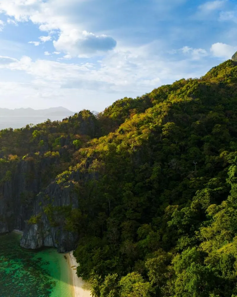
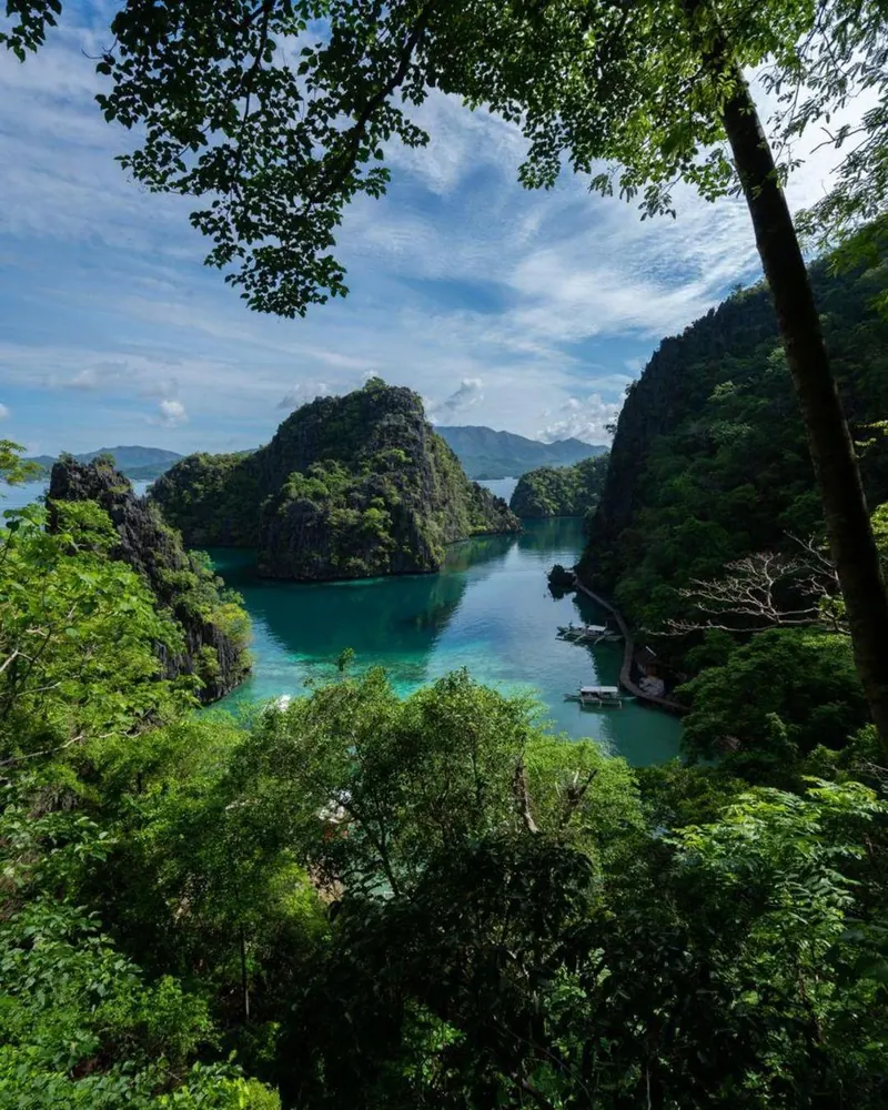
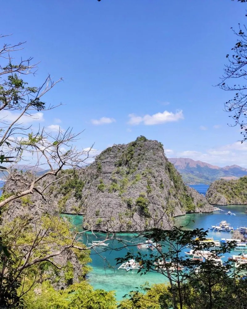
El Nido sits at the northern tip of Palawan, where 45 islands and islets make up the Bacuit Archipelago, their limestone cliffs rising straight out of clear water. The town took its current name in 1954, after the Spanish word for nest, a reference to the edible swiftlet nests gathered from crevices in the cliffs and sold for soup. The tallest island in the group, Cadlao, reaches 640 meters.
The rock formations here are often compared to Ha Long Bay in Vietnam, Guilin in China and Krabi in Thailand, all shaped by the same limestone geology along the edge of the Sunda Plate.
Unlike Ha Long Bay or Krabi, El Nido has kept large hotel chains out of town, and the local economy still runs on fishing and agriculture alongside tourism, with coconut, rice, cashew, banana and mango among the main crops grown around the municipality.
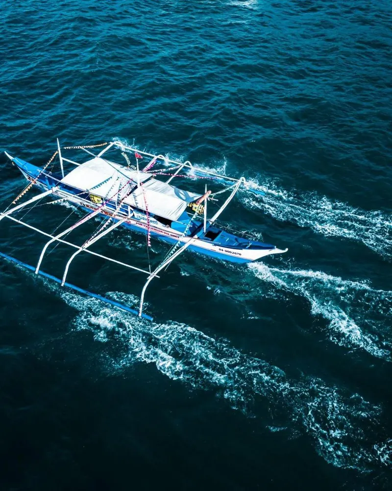
Island-hopping tours out of El Nido move between lagoons, coves and snorkeling spots across Bacuit Bay, usually in small outrigger boats rather than large catamarans. The pace matches the town itself, which still feels closer to a fishing community than a resort strip.
Coron and the wrecks of Busuanga Island
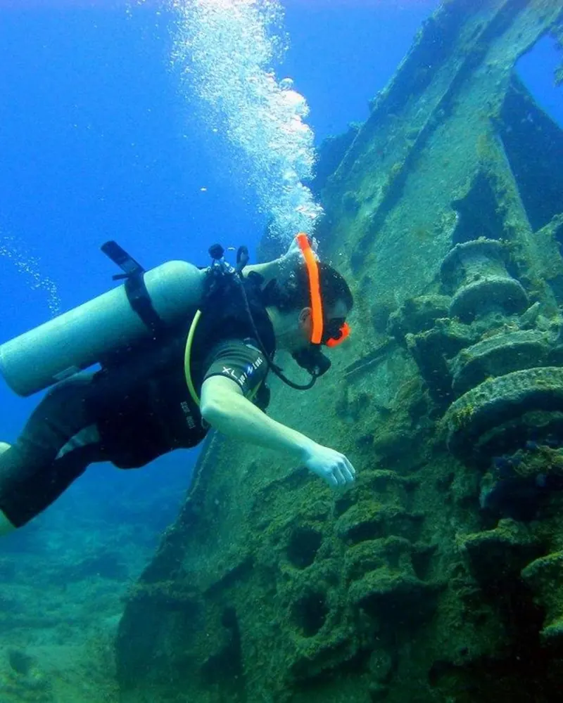
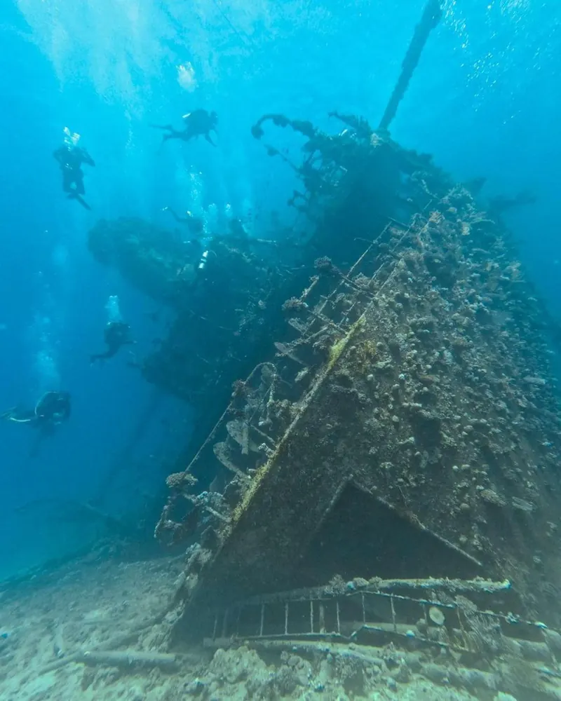
Busuanga Island, further north, holds a different kind of landmark. On September 24, 1944, US Task Force 38 attacked a Japanese convoy sheltering in Coron Bay, sinking a fleet of supply and support vessels. Around ten wrecks have since been identified and named, among them the Akitsushima, Olympia Maru and Irako, some over 100 meters long. Most lie at depths between roughly 14 and 46 meters, with two shallower wrecks accessible to snorkelers and newer divers.
The wrecks are not artificial reefs placed for tourism, they are actual wartime losses, and that history shapes how dive operators in Coron talk about the sites. Decades underwater have coated the hulls in coral, and the combination of visibility, depth range and historical weight has turned Coron Bay into one of the more recognized wreck-diving destinations in Southeast Asia.
The sacred lakes of Coron Island
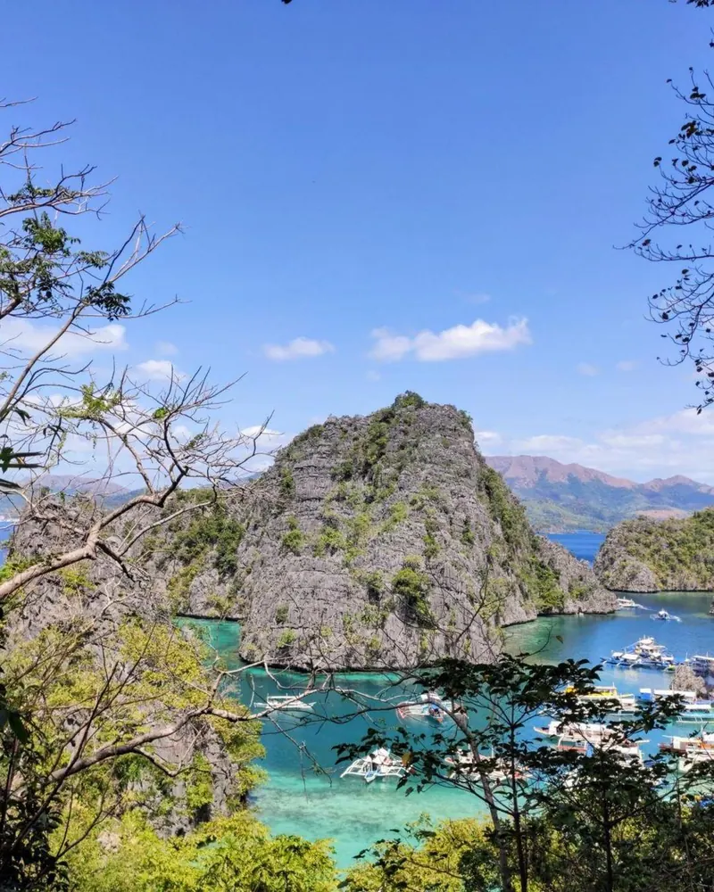
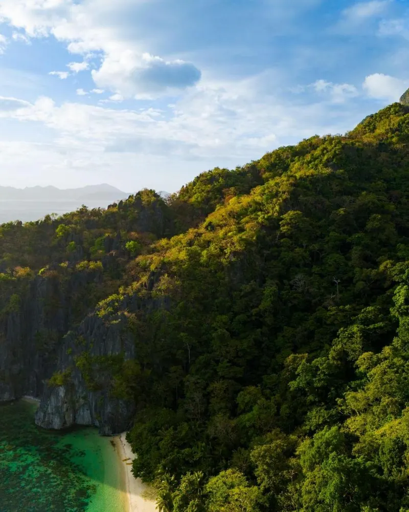
Coron Island itself belongs to the Tagbanua people, who received formal ancestral domain recognition over the island and its waters in 1998, with the lake area specifically confirmed in 2002. Of the thirteen lakes considered sacred by the community, only two are open to visitors.
Kayangan Lake is the better known of the pair, a brackish lake around 70 percent fresh and 30 percent salt water, reaching a maximum depth of 10 meters with limestone walls visible straight down to the bottom. The Tagbanua opened it to tourism in 2001 after a ritual called uliwansag, asking permission from the spirits believed to inhabit the lake. Life vests have been mandatory since 2017, after two tourists drowned while freediving without one, and scuba diving remains off limits because of strong currents below the surface.
Visiting Coron Island
- Scuba diving is not allowed in Kayangan Lake because of strong underwater currents, snorkeling and swimming are fine in the marked areas.
- Outsiders are not permitted to stay overnight on Coron Island, tours run as day trips only.
- Pack reef-safe sunscreen, the lakes and surrounding coral sit on Tagbanua ancestral land.
Why Palawan feels like Borneo
Part of what makes Palawan's wildlife different from the rest of the Philippines comes down to geology rather than culture. Palawan sits west of the Wallace Line, the boundary that separates Asian and Australian biogeographic regions, grouping the island with Borneo rather than the rest of the Philippine archipelago. During the last ice age, lower sea levels connected Palawan to Borneo directly, letting species move between the two before rising water cut the link again.
That shared history shows up today. Palawan and Borneo still share 23 bird species absent from the rest of the Philippines, and the island carries its own set of endemic animals found nowhere else, including the Philippine mouse-deer and the Palawan peacock-pheasant. None of it is visible from a beach chair, but it explains why wildlife guides on Palawan talk about Borneo almost as often as they talk about the rest of the country.
The pressure behind the postcard
UNESCO designated the entire province a Man and Biosphere Reserve in 1990, a status meant to balance conservation with the people living inside it. That balance has been under strain. Palawan lost 6.4 percent of its tree cover in just over a decade, despite being almost entirely covered by protected area designations, with illegal logging, mining and palm oil expansion named as the main pressures. Palm oil plantations in particular have been linked to encroachment on Tagbanua and other indigenous ancestral domains in the southern part of the province, and conservation groups have tracked population declines among dozens of species, including endemic birds, land mammals and reptiles, as forest cover shrinks.
None of that is visible from a boat in Bacuit Bay or a rowboat inside the Underground River, but it sits behind almost every stretch of forest the tours pass through.
Planning a Palawan route
A first trip to Palawan usually moves in one direction: south to north, starting in Puerto Princesa and finishing in Coron, or the reverse if flights line up better. The table below is a rough shape for a route rather than a fixed itinerary.
| Stop | Main draw | How to get there |
|---|---|---|
| Puerto Princesa | Underground River, Sabang mangroves and zipline | Direct flight from Manila, Cebu or Clark |
| El Nido | Bacuit Archipelago island-hopping | Van from Puerto Princesa (4-5 hours) or small-plane flight |
| Coron | WWII wreck diving, Kayangan and Barracuda lakes | Flight or boat from Puerto Princesa or El Nido |
Route planning
- Download offline maps before leaving Puerto Princesa, signal gets patchy on the road north.
- Book inter-island boat tours in the Bacuit Archipelago ahead of time during peak months.
- If the schedule is tight, flying between El Nido and Coron saves a full day compared to the boat.
FAQ
Do I need to fly into El Nido, or is Puerto Princesa better?
Puerto Princesa has far more flight connections, including direct routes from Manila, Cebu and Clark, and usually lower fares than El Nido's small airstrip. Most travelers fly into Puerto Princesa and continue overland.
How long does the Underground River tour take?
Counting the transfer from Puerto Princesa to Sabang, time at the beach and market, and the boat ride into the cave itself, plan for most of a day, especially if you add the mangrove tour or zipline.
Can I dive the Coron wrecks as a beginner?
Some of the shallower wrecks sit at depths accessible to newer divers and even snorkelers, though most lie deeper and suit certified or more experienced divers. A local dive operator can match sites to your level.
Can I stay overnight on Coron Island?
No. The island is Tagbanua ancestral land, and outside visitors are not permitted to stay overnight. Tours to Kayangan and Barracuda lakes run as day trips.
Why does Palawan's wildlife look different from the rest of the Philippines?
Palawan sits west of the Wallace Line and was connected to Borneo by a land bridge during the last ice age, which explains why its plants and animals lean closer to Borneo than to the rest of the Philippine archipelago.
Is it safe to freedive in Kayangan Lake?
Life vests have been required in Kayangan Lake since 2017, after two tourists drowned while freediving without one. Scuba diving is not allowed at all because of strong currents below the surface, but snorkeling with a life vest in the marked areas is fine.